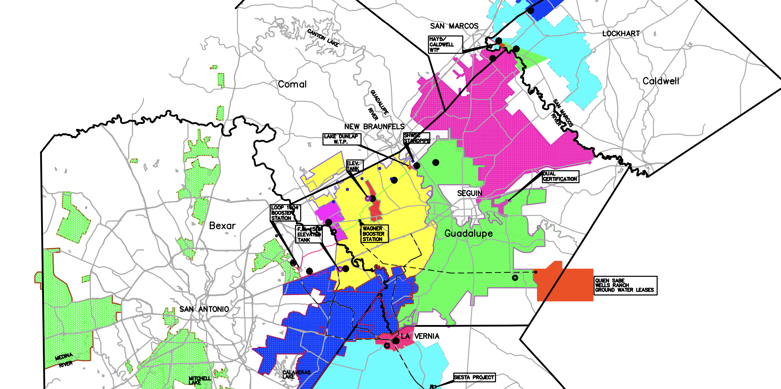
Canyon Regional Water Authority service area spans across counties from Atascosa to Hays and Caldwell.
Click map to view large scale
Canyon Regional Water Authority service area spans across counties from Atascosa to Hays and Caldwell.
Click map to view large scale
CRWA operates three water treatment plants throughout our service area. Below you will find general information about our office as well as the contact information for those who oversee the operation of each of our plants.
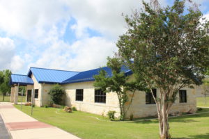
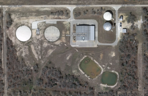
850 Lakeside Pass, New Braunfels
Contact: Joe Moreno (830) 743-2606
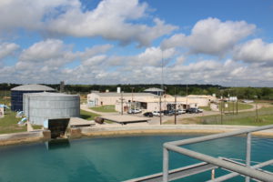
850 Lakeside Pass, New Braunfels
Contact: Michael (Archie) Allman (830) 743-2600
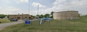
135 Old Martindale Road, San Marcos
Contact: Austin Shirk (830) 515-8619
199 High Ridge Drive, Seguin